 Sunset Chasing Taiwan
Sunset spots › Greater Taipei › Taipei City
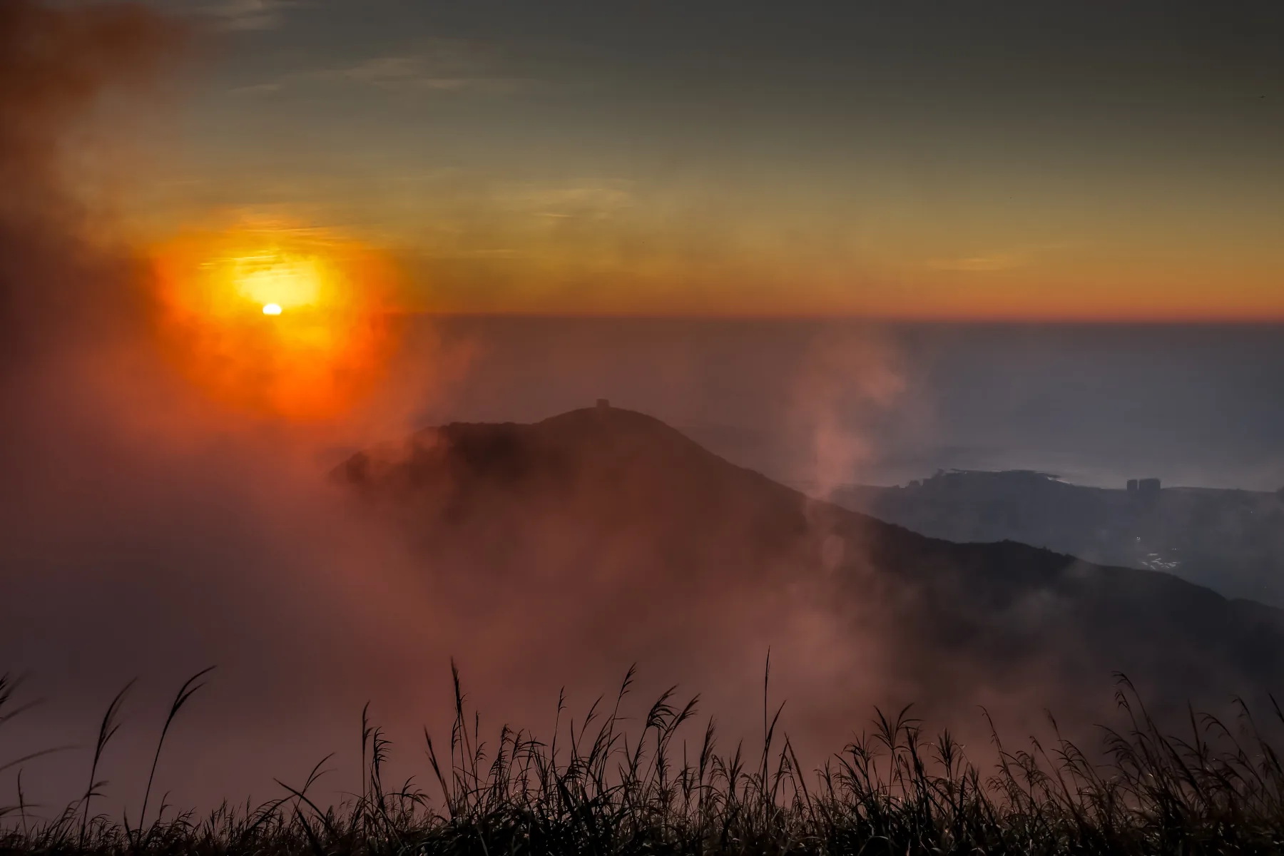



Datunshan Lookout
大屯山觀景台
Tonight’s sky score in the app →
Hike: Round trip 50 minutes – 1 hour+ depending on your level. A bit of an incline but no obstacles. On the trail, a lot of steps, so be careful about slipping.
Getting there & back
Is tonight worth it at Datunshan Lookout?
The app scores every spot from the forecast at its own sunset hour, with the seven-day outlook and the last train home. Six spots are free.
The spot
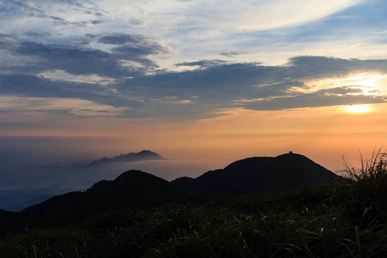
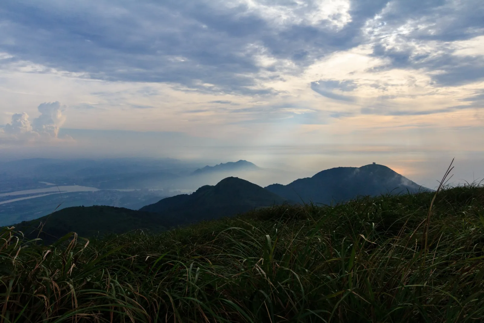
From Datunshan (Datun Mountain), you can see one of the most beautiful sunsets near the Taipei area, with both mountain and ocean panoramas in view. To top it off, this is situated within Yangmingshan National Park, which means you can do hiking by day/afternoon then head to see the sunset atop Datunshan.
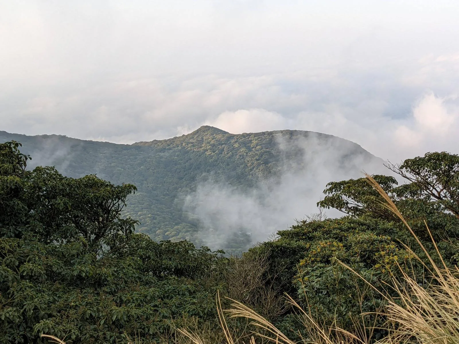
A tricky element of Datunshan is managing the fog that very often rolls in at this level, sometimes completely obscuring the otherwise beautiful sunset that people below can see. Besides checking the weather beforehand, there’s not much that you can do. So it might take two or three or more return visits for you to truly see a clear horizon. But that’s what makes finally seeing a beautiful sunset so meaningful, right?
Also, even when you’re not able to see much from the top, the way up and down might still offer you spectacular views of the surrounding mountains and even the sea of clouds.
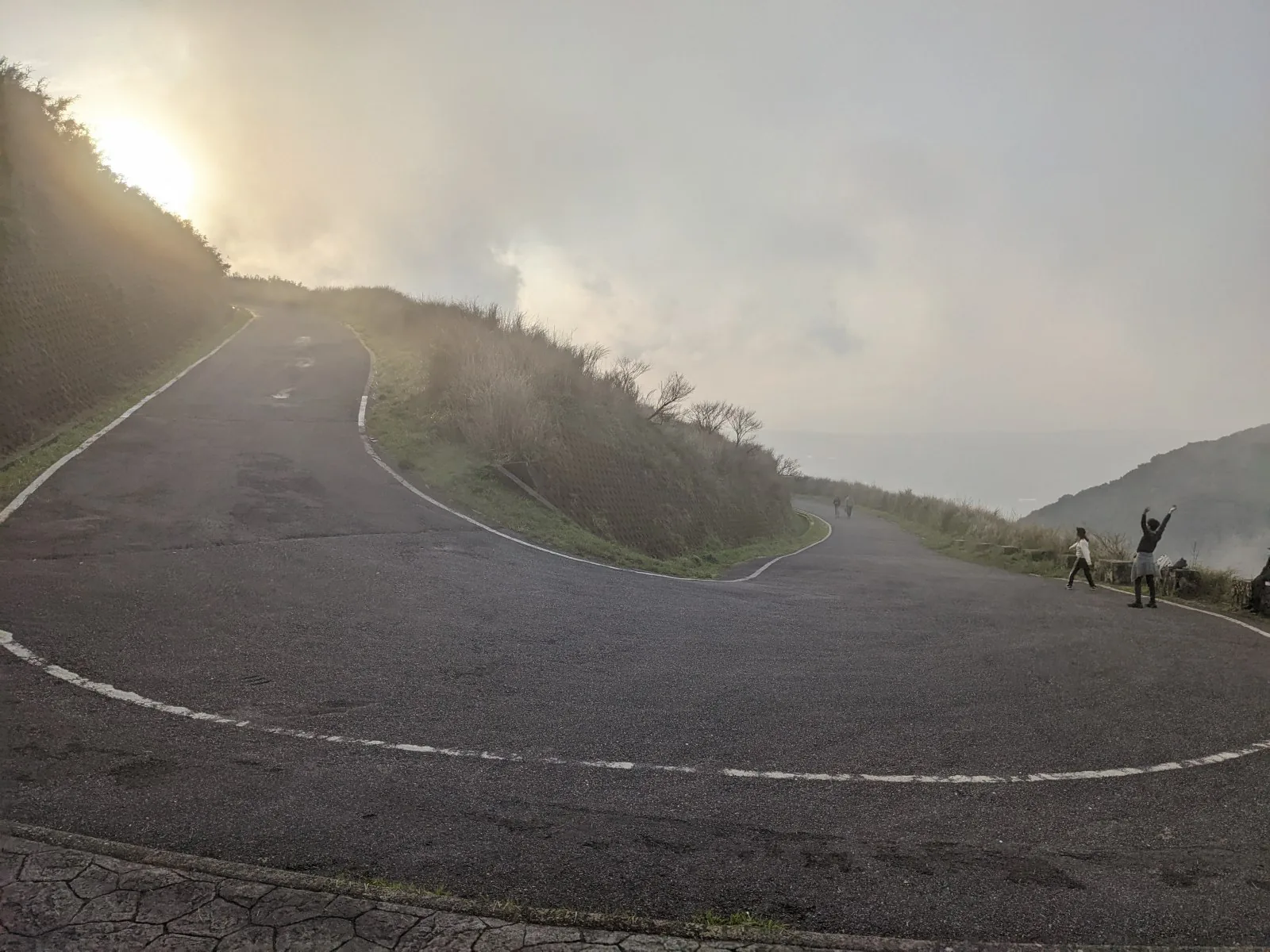
There are two lookouts at the top of Datun, which are usually filled with photographers. In addition, the road going up (closed to traffic as of writing) offers plenty of viewing angles as well. If you’re feeling adventurous, you can also hike to the South Peak or West Peak to see the scenery from there.
Getting to Datunshan is doable by public transport, but I would recommend against it because of the coming back part – the Yangmingshan bus will get you to the start of the trail, but the last bus back down is usually before 17:00. Without any transportation after dark, in one of the most remote places of Yangmingshan, when everyone has left, is quite a precarious situation to be in (I know from experience…).
Driving would definitely be the preferred option here. You can park right at the entrance of the trail and walk up to the top in about 25 minutes.
At the time of this writing, you can take the hiking trail to the top or the winding road which has been closed to traffic. I recommend the road because it gives a less obstructed view of the nearby mountains, and it’s not as slippery as the stony steps of the footpath. For the road, you can start at Erziping Visitor Center.