 Sunset Chasing Taiwan
Sunset spots › Greater Taipei › New Taipei
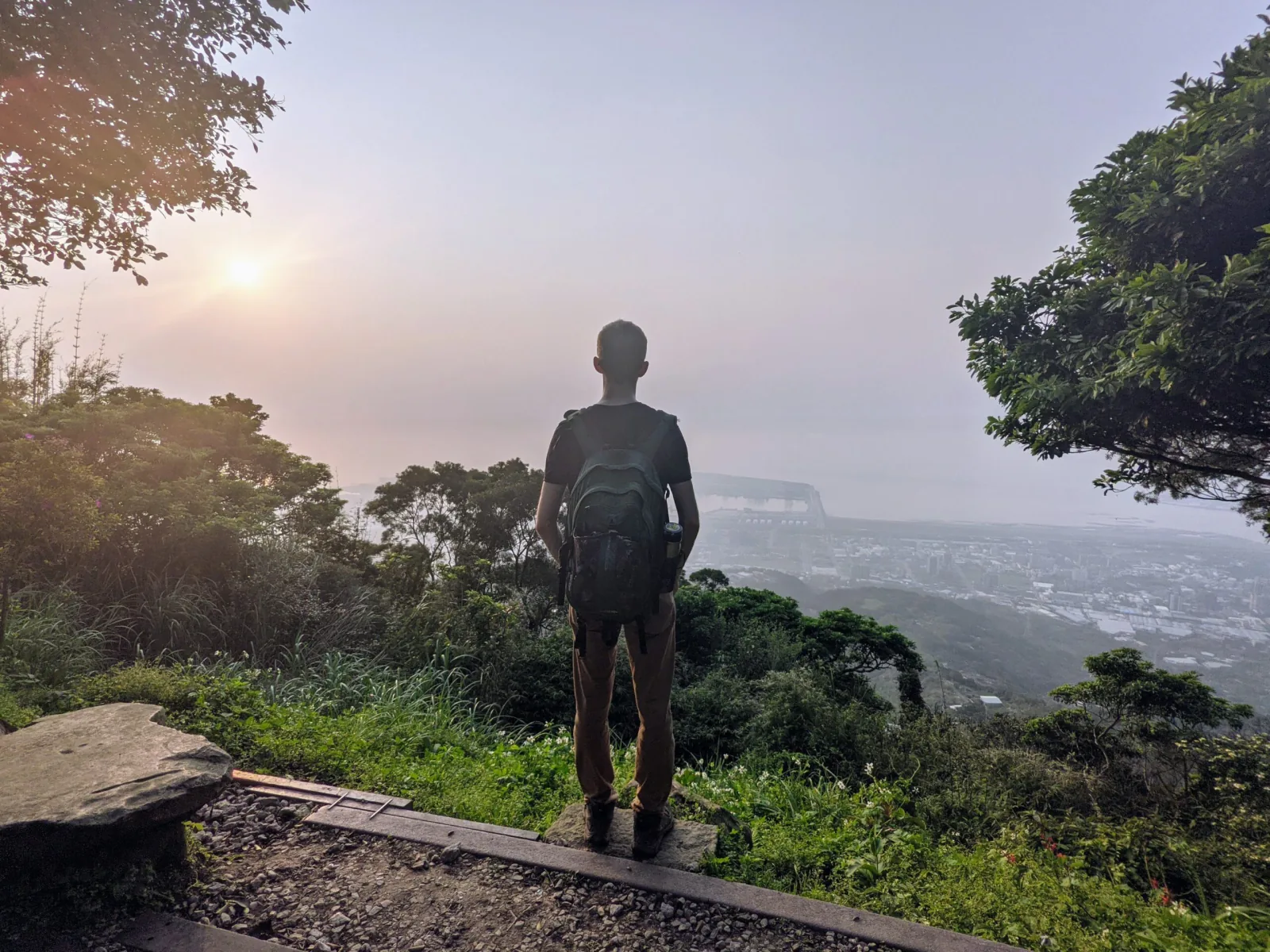
Photo: Curtis Starkey
Guanyinshan
觀音山
Tonight’s sky score in the app →
Hike: 5 for the full Yinghan Trail (lots of stairs for 30ish minutes); 2 from the Guanyinshan Visitor Center
Getting there & back
Is tonight worth it at Guanyinshan?
The app scores every spot from the forecast at its own sunset hour, with the seven-day outlook and the last train home. Six spots are free.
The spot
The Yinghan Peak Platform sits atop Guanyinshan (Mt. Guanyin) in Bali.
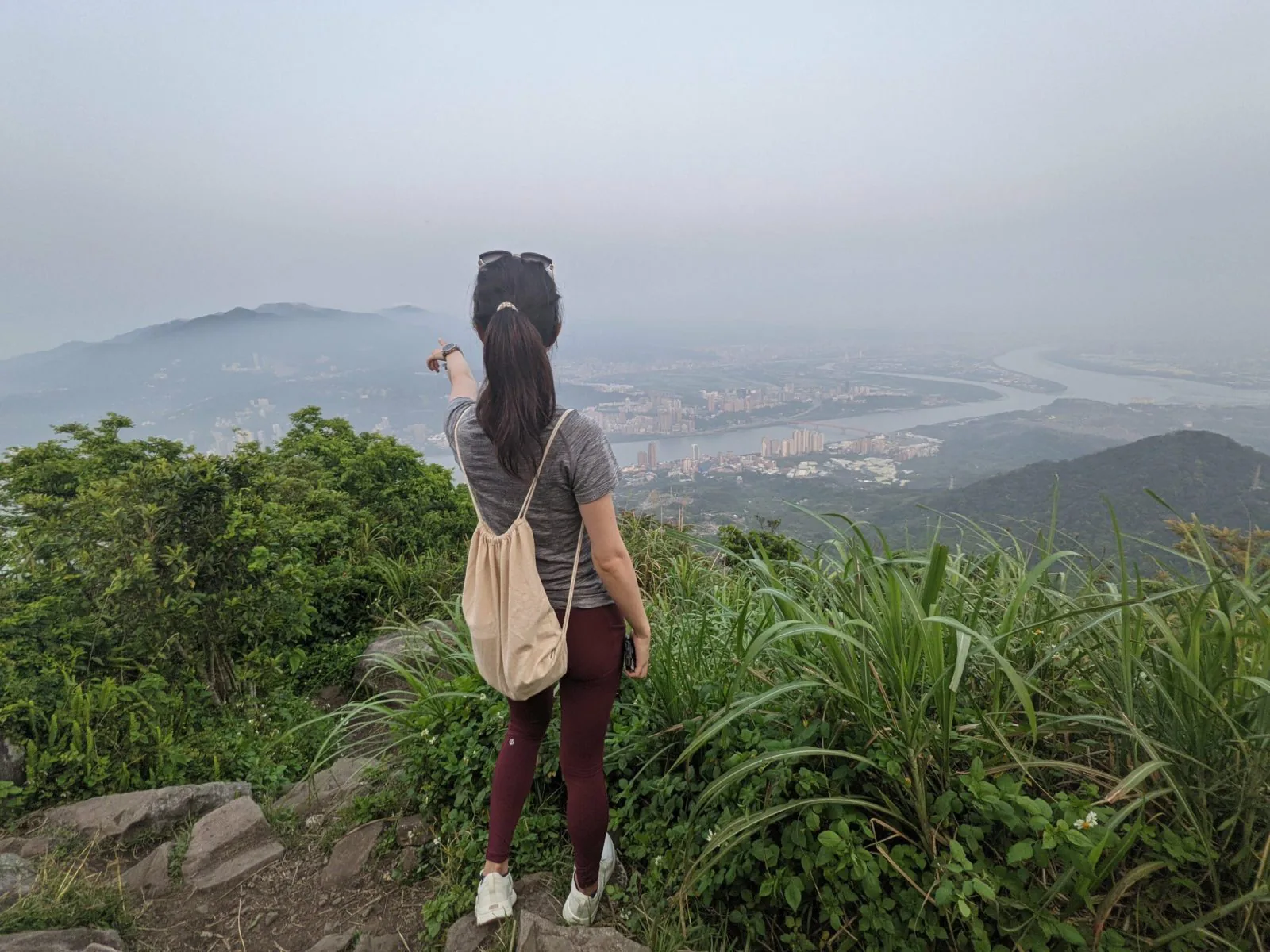
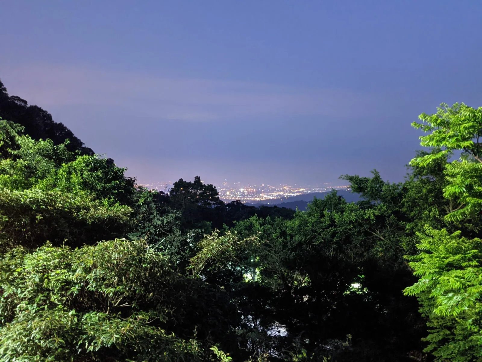
From here, you can see the Tamsui River, Tamsui, and Yangmingshan across from you. I like this place because as a Taipei resident, I often found myself on the other side looking over to Guanyinshan, but from here you get to see the less common opposite view.
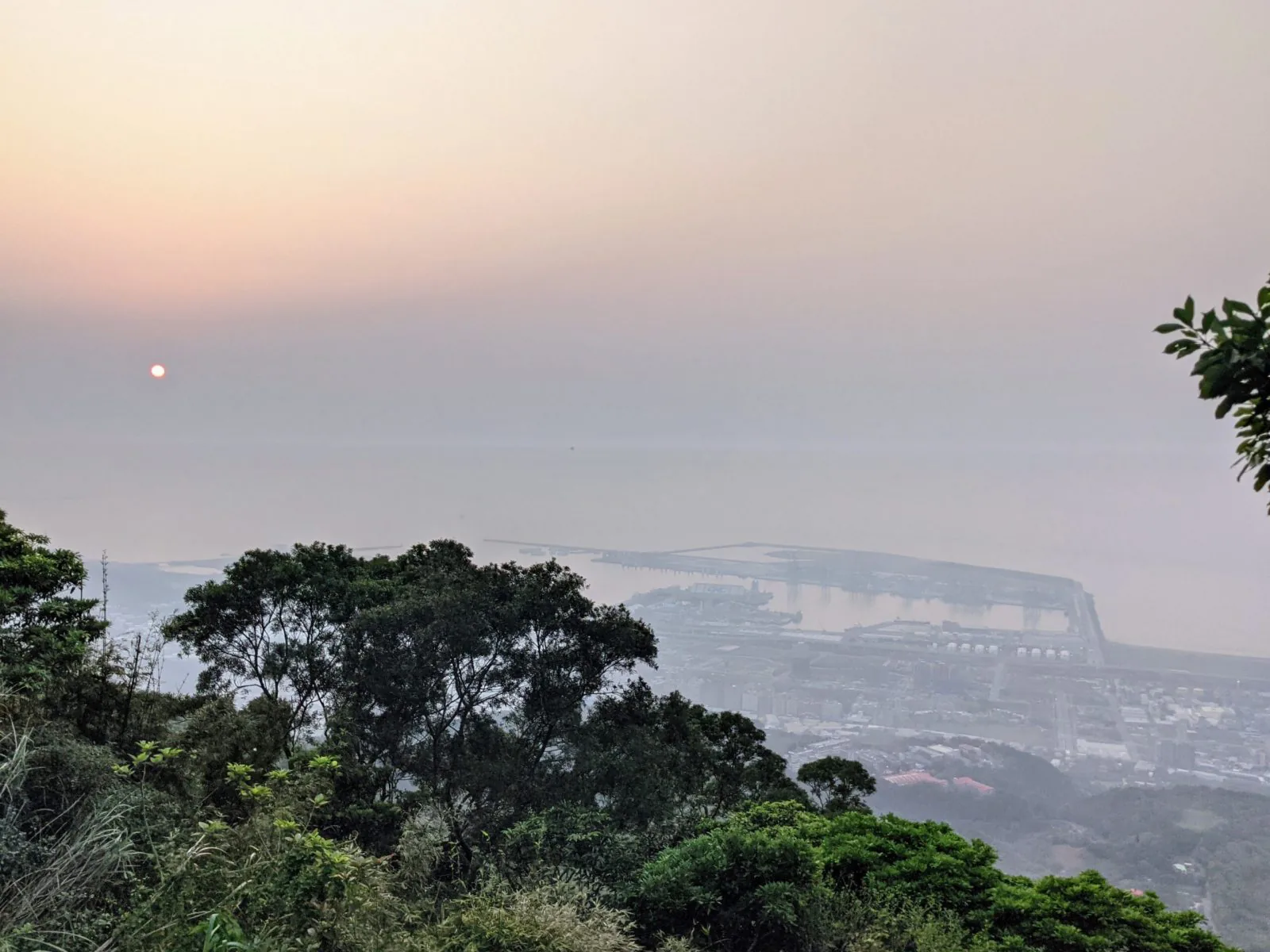
The Tamsui River empties into the sea, where the colors of the sunset will emerge on a clear day (Note: it is often foggy here, so try to go on a day with a good weather forecast to actually be able to see the sunset).
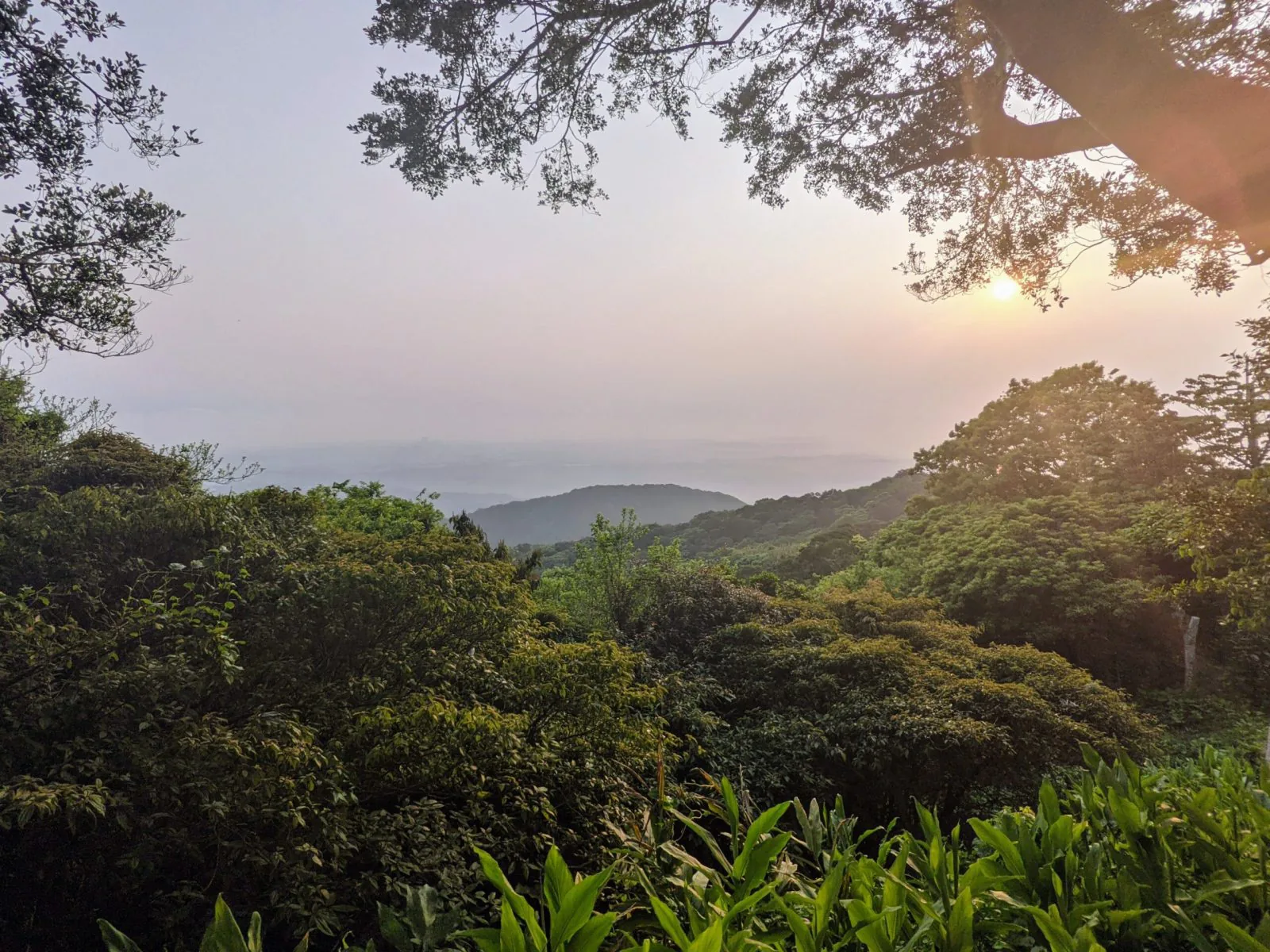
However, you might not get a direct angle of the sunset from here. In addition, the platform at the top is pretty crowded, with everyone trying to get a picture of Yangmingshan and the river behind. Thus, I recommend going down the hill a bit to a few angles through the trees, or further a few minutes to the platform on the Niuliaobu Trail (牛寮埔步道) which faces westward and still gives a heck of a view over the water.
When I visited here, the Yinghan Peak Platform was filled with photographers who I think were setting up for the spectacular night view, and couples taking selfies. But there were only a couple of people at the quiet Niuliaobu Trail platform.
The hike to the top takes approximately 30 minutes if you want to do the full Yinghan Trail. There are a lot of steepish stairs, so I’ll rank this as more medium difficulty. You can also start at the Guanyinshan Visitor Center, but it will also take about 30 minutes from there.
This area is better to get to by driving. The drive is moderate except the last part, where the road gets steeper and more winding. There are parking lots next to the hiking trail entrance and at the Guanyinshan Visitor Center.
But public transit is possible: from Rear Station at Taipei Main Station, MRT Luzhou Station, and a few other MRT stations (Sanchong Elementary School, St. Ignatius High School, Sanhe Junior High School, Beimen, Daqiaotou, and Taipei Bridge), you can take the 785 bus to the terminal station, Lingyun Temple. From there, you have to walk about 20 minutes (1.3 km) to the start of the trail.
A note worth considering when planning to see the sunset: the bus service from Lingyun Temple ends quite early – 18:10. Depending on the time of year, you probably will miss that if you stay to see the actual sunset. In that case, a taxi/Uber to the nearest MRT (Luzhou Station) or wherever else you want to go might be the only option.